OGF
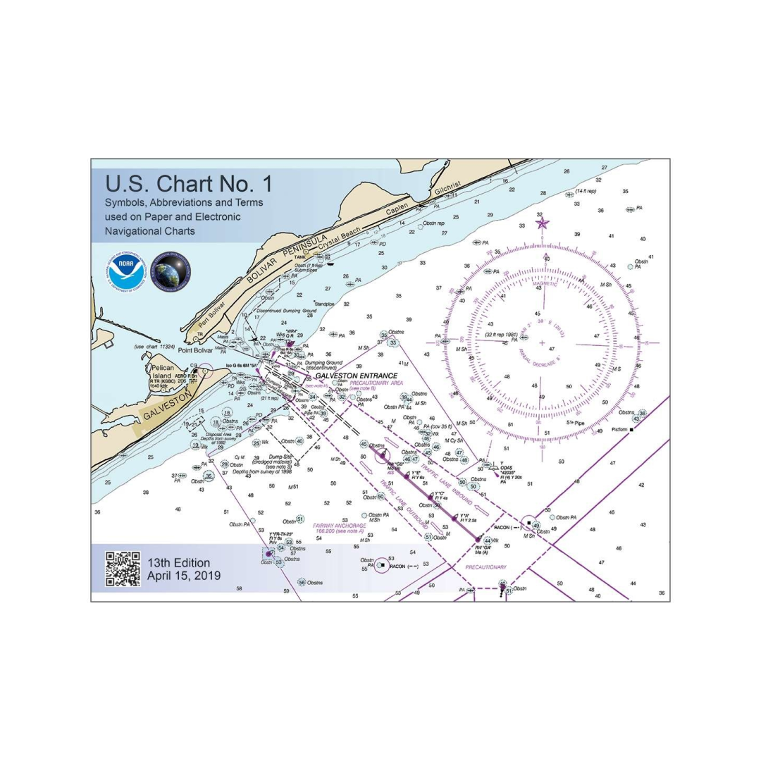
U.S. Chart No. 1: Symbols, Abbreviations and Terms used on Paper and Electronic Navigational Charts, 13E 2019
U.S. Chart No. 1: Symbols, Abbreviations and Terms used on Paper and Electronic Navigational Charts, 13E 2019
Couldn't load pickup availability
This 130 page book describes the symbols, abbreviations, and terms used on paper NOAA nautical charts and for displaying NOAA electronic navigational chart (NOAA ENC®) data on Electronic Chart Display and Information Systems (ECDIS). The document also shows paper chart symbols used by the National Geospatial-Intelligence Agency and symbols specified by the International Hydrographic Organization.
In the back of U.S. Chart 1, there is additional information about the characteristics and appearance of buoys conforming to the IALA Maritime Buoyage System that is used by the United States and most other seafaring nations.

Have a question about a product or destination?
Call on us for 40 years experience in charts, navigation, and maritime history.
Call +1-267-773-7858 or Email sales@pilothousecharts.com

