Have an account?
Log in to check out faster.
Loading...
🚨 Up to 20% LED Nav Lights 🚨
Contact for Large Quantity Orders: 267-773-7858
Spring Cleaning Sale / All Items Reduced
MTP
Couldn't load pickup availability
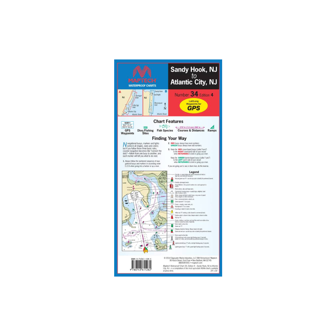
Navesink and Shrewsbury rivers, Barnegat Bay, and Beach Haven, Little Egg, Brigantine, and Absecon inlets. Featuring GPS Waypoints, courses and distances, and fishing and wreck sites. 14" x 60", scale 1:50,000.
Call on us for 40 years experience in charts, navigation, and maritime history.
Call +1-267-773-7858 or Email sales@pilothousecharts.com