1
/
of
1
W&P
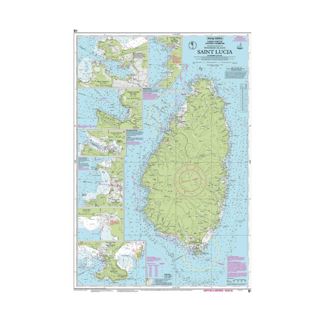
I-I B1 Saint Lucia chart by Imray-Iolaire
I-I B1 Saint Lucia chart by Imray-Iolaire
Regular Price
$32.00
Regular Price
Sale Price
$32.00
Unit Price
/
per
Tax included.
Shipping calculated at checkout.
Couldn't load pickup availability
This Imray-Iolaire water resistant chart features large scale insets of harbors and bays on St. Lucia Island, one of the Windward Islands in the Caribbean Sea. This St. Lucia chart includes insets of Port Castries, Grand Cul de Sac Bay, Marigot Harbor, Rodney Bay & Yacht Harbor, Laborie Bay, Vieux Fort Bay & Point Sable Bay. This Imray-Iolaire passage chart for the Eastern Caribbean is printed in color on treated water-resistant paper.

Have a question about a product or destination?
Call on us for 40 years experience in charts, navigation, and maritime history.
Call +1-267-773-7858 or Email sales@pilothousecharts.com

