HPC
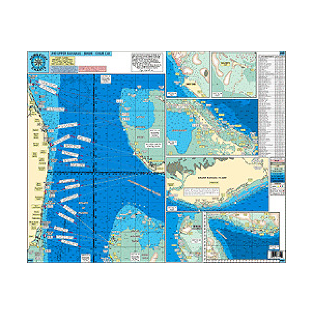
HPC 40 Upper Bahamas
HPC 40 Upper Bahamas
Couldn't load pickup availability
HPC 40 Upper Bahamas
All GPS-West End, Walkers Cay, Abacos, Green Turtle, Treasure Cay, Marsh Harbor, Bimini, Cat Cay, Freeport, Lucaya, Grand Lucaya Waterway, Mantanilla Shoal, Boat Harbor, Chub Cay.
LOCAL KNOWLEDGE 'HOT SPOTS' AND FISHING GROUNDS
28000 square miles
Florida GPS sea buoy coordinates
Courses and distances across the Bank from Ft. Pierce to Miami
Enlargements of harbors and destinations
GPS onsite waypoints across the Bank and throughout the Abacos
All depths in fathoms
Laminated
Color coded depth and contour curves lines
Enlarged LAT/LON numbers for easy positioning
CUTS THROUGH THE REEF FOR:
Walkers to Ocean
Gun Cay to Ocean
North Man-O-War
South Man-O-War
Tillo Cut
North Bar Channel

Have a question about a product or destination?
Call on us for 40 years experience in charts, navigation, and maritime history.
Call +1-267-773-7858 or Email sales@pilothousecharts.com

